Verify before you go. Details come from state agency records and may be out of date. Check local conditions, closures and fees with the managing agency before launching. Not for navigation.
Weedon Island Preserve - Paddlecraft Launch
| Water body | Tampa Bay - Riviera Bay |
|---|---|
| Water type | Salt or Brackish Water |
| County | Pinellas |
| City | Saint Petersburg |
| Ramp type | Hand Launch Only |
| Lanes | 1 |
| Amenities | Restroom: Flush Toilet; Dock: Unknown; Moderate Level of Accessibility |
| Fee | No |
| Parking | Unknown; vehicle spaces 15 |
| Hours | 7:00 AM to Sunset, Closed Day After Thanksgiving and Dec 25. |
| Status | Open for Business |
| Owner / manager | Pinellas County |
| Source ID | PI00003AA |
| Coordinates | 27.84419, -82.61110 · OpenStreetMap |
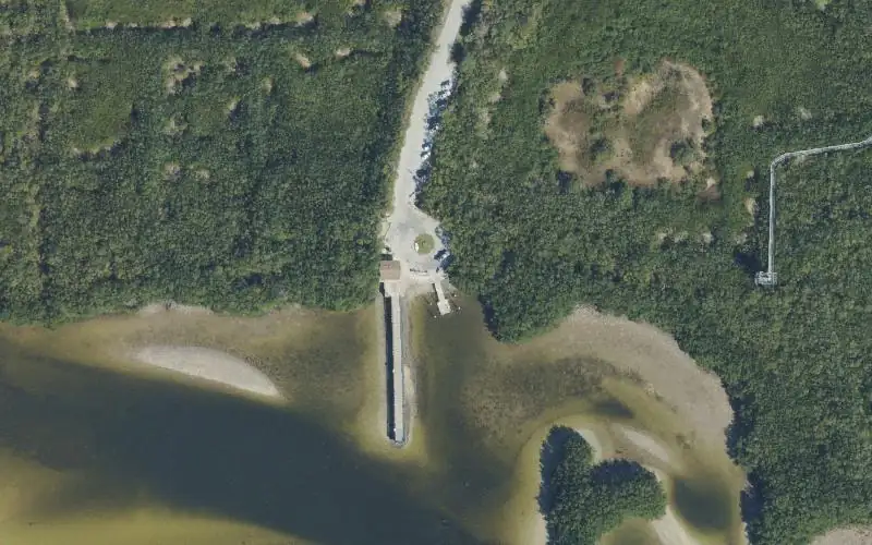
Map
Forecast
Loading forecast…
Source: National Weather Service (api.weather.gov), live.
Nearest water gauge
Cross Bayou Cn At Ulmerton Rd At Pinellas Park Fl (USGS 02308859), about 7.0 mi away. It may be on a different water body.
Loading live readings…
Source: U.S. Geological Survey instantaneous values, live, provisional.
Marinas and boat fuel nearby
- Snell Isle Marina (marina) — 3.1 mi
- Vinoy Marina (marina) — 4.8 mi
Source: © OpenStreetMap contributors (ODbL). Not verified; call ahead.
Report a change Also tell the agency: corrections to the source data help everyone.
Reviews
No reviews yet.
Nearest listed sites
- Sunlit Cove Park — 1.5 mi
- Gandy Bridge Marina (Ramp Closed) — 1.8 mi
- Gandy Causeway Wayside Beach Paddlecraft Access Points — 1.9 mi