Verify before you go. Details come from state agency records and may be out of date. Check local conditions, closures and fees with the managing agency before launching. Not for navigation.
Keys Environmental and Wildlife Area - Sammy Creek Landing Canoe and Kayak Launch
Temporarily Closed
| Water body | Sugarloaf Creek |
|---|---|
| Water type | Salt or Brackish Water |
| County | Monroe |
| City | Summerland Key |
| Address / directions | Old State Road 4A |
| Ramp type | Hand Launch Only |
| Amenities | Dock: No Docks; No Accommodations for Accessibility |
| Fee | No |
| Parking | Not Paved - Gravel/Limestone/Packed Soil |
| Hours | Daytime Use Only |
| Status | Temporarily Closed |
| Owner / manager | Florida Fish and Wildlife Conservation Commission |
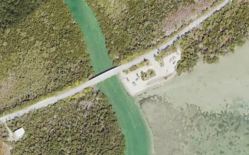
| Agency notes | Status comments: Canoes and kayaks must be carried a short distance from the roadway to this relatively new concrete ramp. Parking is along shoulder of the road. Picnic tables under a pavillion but no other amenities. Operational comments: Canoes and kayaks must be carried a short distance from the roadway to this relatively new concrete ramp. Parking is along shoulder of the road. Picnic tables under a pavillion but no other amenities. |
| Source ID | MO99490BJ |
| Coordinates | 24.60348, -81.57061 · OpenStreetMap |
Map
Forecast
Loading forecast…
Source: National Weather Service (api.weather.gov), live.
Report a change Also tell the agency: corrections to the source data help everyone.
Reviews
No reviews yet.