Verify before you go. Details come from state agency records and may be out of date. Check local conditions, closures and fees with the managing agency before launching. Not for navigation.
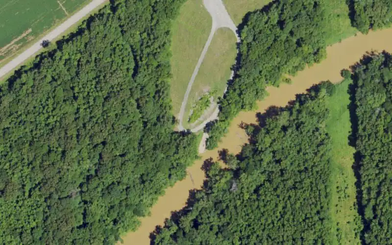
Grangertown Landing
| Water body | Tradewater River |
|---|---|
| County | Union |
| Address / directions | US 60 SW to Sturgis; right on KY 109; left on Hwy 1508; (0.5 mile) on left |
| Ramp type | Small Boat Only |
| Lanes | Single |
| Fee | No |
| Parking | Unpaved parking; capacity 25 or Less |
| Hours | 24 hours |
| Status | Open year-round |
| Agency page | Kentucky Department of Fish and Wildlife Resources site page |
| Source ID | 618 |
| Coordinates | 37.54627, -88.01888 · OpenStreetMap |
Map
Forecast
Loading forecast…
Source: National Weather Service (api.weather.gov), live.
Nearest water gauge
Ohio River At Old Shawneetown, Il-Ky (USGS 03381700), about 11.9 mi away. It may be on a different water body.
Loading live readings…
Source: U.S. Geological Survey instantaneous values, live, provisional.
Report a change Also tell the agency: corrections to the source data help everyone.
Reviews
No reviews yet.
Nearest listed sites
- Old Providence Road Ramp — 0.2 mi
- Caseyville — 2.9 mi
- VFW Bridge — 5.8 mi